Evaluating Soil Quality on the Palouse and Nezperce Prairies
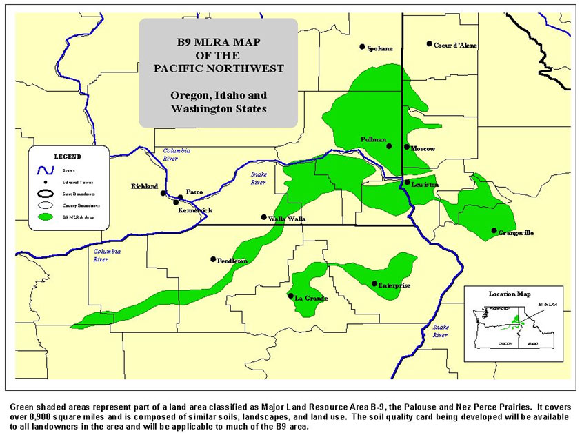
This project began in 2004 and was completed in 2006. The Nez Perce Soil and Water Conservation District (District) developed a soil quality indicator card for the Palouse and Nezperce prairie regions of Idaho, Washington, and Oregon (area shown in green in figure 1). The soil quality indicator card’s purpose is to assist agricultural producers in evaluation soil quality on their farm operations.
Figure 1. B9 MLRA Map of the Pacific Northwest.
The card was designed by agricultural producers, researchers, and district personnel. The card was designed following the USDA-Natural Resource Conservation Service’s (NRCS) Soil Quality Design Guide. The project resulted in the completion of the Palouse and Nezperce Prairies Soil Quality Indicator Card and Soil Quality Indicator Card Instruction Booklet - 2010.
Card development was funded through a grant from the Western Sustainable Agriculture Research and Education program.
Agricultural producers in the Palouse area are implementing direct seeding systems. One challenge in the adoption of this system is the ability to measure/determine soil quality change over time. The project was developed to provide soil quality/health education and improve soil quality/health in farm management practices.
Soil Quality Indicator Card Presentation