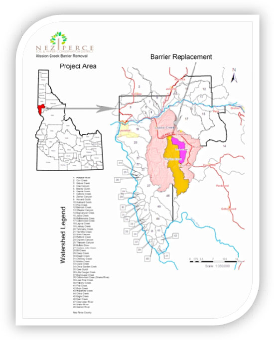
October 2013 Grant Proposal Reference Documents
The items on this web page are some of the reference and source documents used in the preparation of the Mission Creek Bridge Replacement grant proposal submitted to the Idaho Governor’s Office of Species Conservation on October 4, 2013. This information set is provided as supplemental information for proposal reviewers.
Bedload analysis
Pebble count data was collected in order to evaluate bedload size distribution as well as to perform the bedload transport analysis. Data was collected at 3 sites including one upstream of the existing bridge, one each in Mission and Rock Creeks upstream of their confluence. Products available for review include:
Mission Creek Analysis Data Set (upstream of bridge) – pdf file
Rock Creek Analysis Data Set (upstream of Rock/Mission Confluence) – pdf file
Mission Creek Analysis Data Set (upstream of Rock/Mission Confluence) – pdf file
Channel and Bank Stabilization Project Completed in 2012
Channel and bank stabilization work was completed in 2012 upstream of the proposed bridge replacement location. This work was funded through the Snake River Basin Adjudication Project number 1209. Products available for review include:
Overview of work completed – 1 page pdf file
Design Documents – pdf file
As-Built Engineer’s certification – pdf file
Channel survey and cross section documentation – pdf file
Biological Assessment Prepared for work completed in 2012 – pdf file
Supporting Documentation and preliminary inventory sent to engineer – pdf file
Fish Data
Fish distribution and abundance data was collected on Mission Creek by the Nez Perce Tribe in 2003. The data was collected as part of a Bonneville Power Administration funded project. The data is summarized in a 266 page report. Select document number P104799 to view the entire report. To view the data 5 miles upstream and downstream of the proposed bridge project select the excerpt below:
Mission Creek fish data from 2003 within 5 miles upstream and downstream of project area – pdf file
Adult PIT tag Detections in the Lapwai, Mission, Sweetwater Creeks from November 2012 to April 2013 – pdf file
2014-2018 Project Proposal to Bonneville Power Administration
The District submitted a proposal to the Bonneville Power Administration for project work within the Lapwai Creek watershed. The floodplain work identified by the technical review team and also noted within the proposal is identified in this proposal under Deliverable 6 - Restore Floodplain Access and Reconnect Channel- Complete 7.6 miles of floodplain analysis and restore aquatic habitat suitability to 1,200 feet of stream channel. The following link transfers to the Columbia Basin Fish and Wildlife Program website where the Lapwai Creek BPA proposal is located:
Proposal GEOREV-2002-070-00 – Restoring Anadromous Fish Habitat in the Lapwai Creek Watershed
Other related data sets and photographs
As part of the project work conducted at this site over the past several years, a photo library was compiled. This library includes historic photographs and images obtained from literature reviews and interviews with the area’s landowners. The following documents are available for review:
Point Monitoring 2004-2012 Summary – pdf file
Mission Creek Bank Erosion Evaluation 2012 – pdf file
Mission Creek Bridge Photograph Library – pdf file