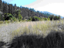
 Jacks Creek historically provided quality spawning and rearing habitat for wild summer steelhead and fall Chinook Salmon, both of which are threatened species. However, low summer flows and high temperatures, sedimentation, channel/bank instability, and riparian degradation have created problems for anadromous fish habitat in the creek.
Jacks Creek is a small tributary to the Clearwater River. It is located on the south side of the river with its mouth near Lenore, Id. The Jacks Creek watershed encompasses about 15,000 acres and is about 10 miles long. Land ownership is mostly private with small numbers of landowners controlling land management activities. The watershed contains riparian woodland, farmland, forestland, and prairieland.
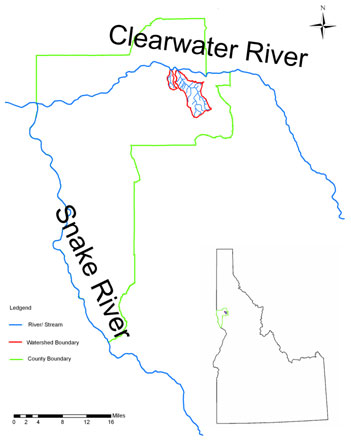
Figure1. Jack's Creek and Rattlesnake Canyon Watersheds
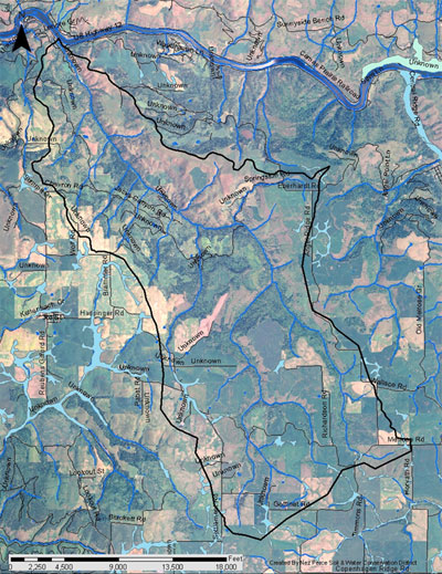
Approximately 143 acres of hydric soils are contained within the watershed boundaries. Figure 2 illustrates their location. Hydric soils are shown in light blue.
Figure 2. Jacks Creek Hydric Soils
“Jacks Creek and Rattlesnake Canyon Stream Inventory and Assessment” Nez Perce Soil and Water Conservation District. 2007-2008.